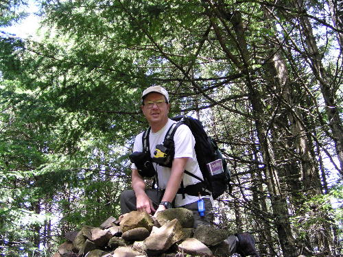
| rock pile on the summit Driven by the need to provide more material to feed the demanding fires of Cascade Ramblings I responded Tuesday by researching another trail in the Columbia River Gorge. The wonderful advantage of hiking in the Gorge is you can almost choose your weather, and in the rainy springtime of year, I like to hike the dryer eastern end. Last weekend we found the Catherine Creek area starting to show signs of drying out, so I choose to move west in the Gorge for more moisture. The Wygant Trail, just to the west of Hood River, is right on the transition zone, with a little oak scrub land moving to the dominance of the conifer forests.
Despite having hiked a portion of the Wygant Trail several years ago, I still found the trailhead very confusing. From the parking lot the only path visible is a paved one next to the Lousman State Park sign, which as it turns out leads to the restroom. The next choice was a natural path that forked off of the paved one, which after a few minutes of hiking I realized was leading to Mitchell Point, not my intended destination of Wygant Peak.
Here is a lesson well learned. I always recommend taking a copy of a hiking guide, in this case William Sullivan's '100 Hikes in Northwest Oregon', with you when you hike. Here is the lesson-----its important to read it!! Taking it out of my pack and reading I discover that one must walk back out the road just driven in to the old Columbia River Highway, which is now gated, to find the Wygant Trail. There is a sign there, but it is only visible to those exiting the park!
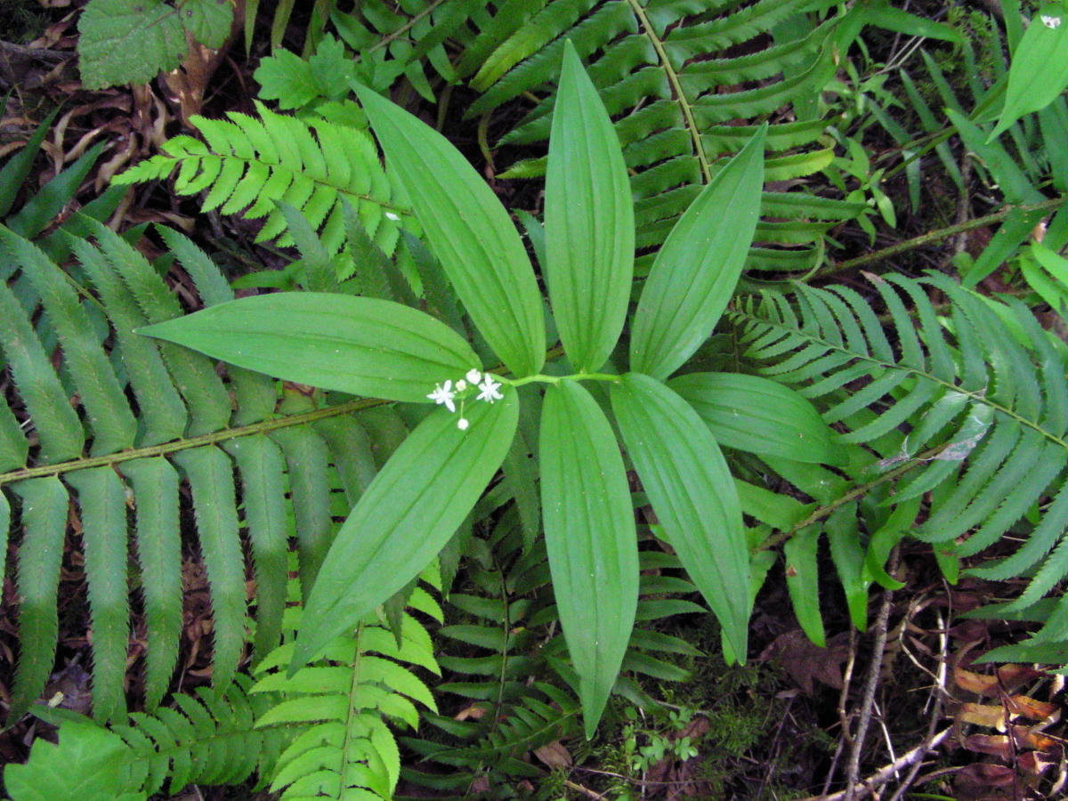
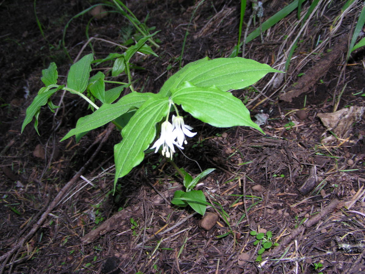
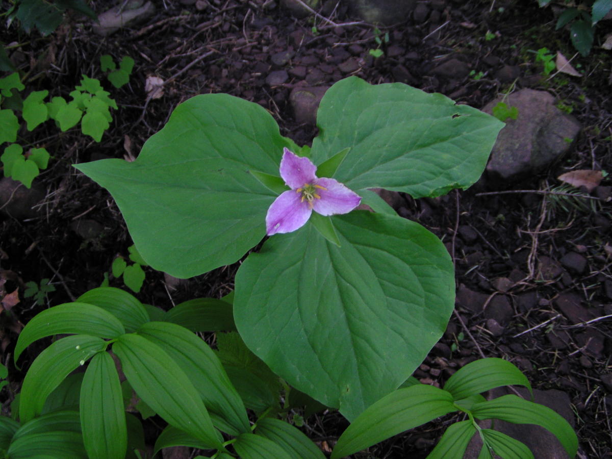
All this confusion can easily put a person in a bad mood, but soon wildflowers of the shady forest where prompting me to attempt to capture their startling beauty with my camera. Staring up at me were Star Flowers, and Solomon's Seal, both False and Star-flowered. Fairy Lanterns dangled delicately under their spreading leaves. An occasional Trillium showed off a variety of changing colors. I am always challenged to get yet a better photo.
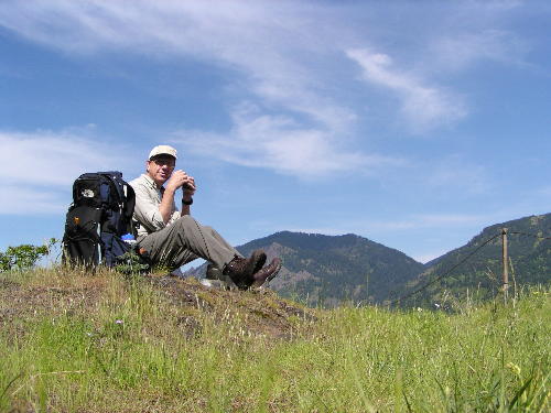
The first open view point at 1.5 miles takes you out of the forest to perch above I-84, and provides you with a panorama of the Columbia River. Here I stopped to take in the view and eat a half of sandwich. This makes a good turn-around for some one wanting a short hike. Continuing on I caught a glimpse of other landmarks of the Gorge, Dog Mountain dominating over the river, and Mt Adams in the distance.
The summit of Wygant Peak is somewhat anti-climactic because there is no view. Timber covers the top here, prompting me to think it would be a good place to clear-cut. Is the Bush Administration reading this???
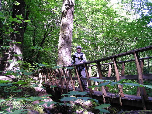
After a little nap in a sunny spot I rambled back down the trail. On my return route I choose to take the optional Chetwoot Trail. Although a sign at the parking lot had called my attention to the fact that a bridge was washed out in this section, I continued on only to encounter a sign saying is was 'closed'. Not wanting to retrace my steps I ventured on and managed to clamber around the washed out section. In retrospect I would not recommend the Chetwoot Loop until the bridge is repaired. The trail really has nothing different about it to make it a necessary side trip.
All in all the Wygant Trail has a lot to offer. It's a good work out at 8.5 miles round trip with over 2000 feet of climb. There are enough viewpoints to keep you going. And the wildflowers along the way will lift your spirits.
|