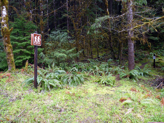
| Title: | Adams Mountain Trail |
| Area: | Umpqua National Forest |
| Elevation: | 1700 - 4200 Feet |
| Elevation_Gain: | 2500 |
| Trail: | Adams Mountain |
| Misc: | A good map for this area is the Umpqua National Forest - Cottage Grove Ranger District Map. |
| Links: |
Adams Mountain Trail
Lund Park Campground |
| Notes: | This trail has a lot of climb to it, but you can do just as much as you want. The lower section starts across the road from the Lund Park Campground. Middle sections can be accessed from FS Rd #2263. |
| Trail_Number: | 1419 |
| Route: | From Cottage Grove take Row River Road #2400, east 19 miles. At the junction of Layng Creek Road, stay right and continue on Brice Creek Road for approximately 7 miles to Lund Park Campground. Park and walk east 0.1 mile to the trail |
| TH_elevation: | 1700 |
| Distance: | 3.6 |
| USGS_75: | Rose Hill |

trailhead on Brice Creek Road |
| Type: | Trail |
| Day_Hike: | yes |
| Mountain_Biking: | yes |

