| Title: | Cone Peak |
| Area: | Willamette National Forest |
| Elevation: | 5646 Feet |
| Elevation_Gain: | 1516 |
| Trail: | Cone Peak Trail |
| Misc: | The Cone Peak Trail does not take you to the top of Cone Peak. However, the trail does skirt around the base of Cone Peak, leaving only about a half mile scramble to the summit. |
| Links: | Cone Peak Trail
Trip Journal - 6/20/02, 10/15/02 |
| Difficulty: | experienced only |
| Notes: | Located next to well known Iron Mountain, Cone Peak is the second peak in a group of five peaks; Iron, Cone, South, Echo, and North, that form a northeasterly trending ridge making up the Echo Mountain area. |
| Trail_Number: | 3408 |
| Route: | From Sweet Home take Highway 20 east to Tombstone Pass. The Forest Service's suggestion is to park at the Tomstone Pass Parking Lot. |
| TH_elevation: | 4130 |
| Distance: | 2.5 |
| USGS_15: | Echo Mountain |
| USGS_75: | Harter Mountain |
| Reference: | 100 Hikes in the Central Oregon Cascades by Sullivan / Guide to the Middle & South Santiam Roadless Areas |
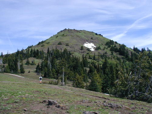
Cone Peak - June 20, 2002 |
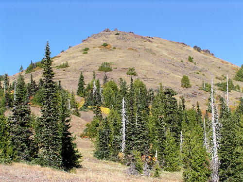
Cone Peak - - October 15, 2002 |
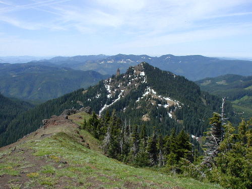
Looking down on Iron Mountain from Cone Peak---June 20, 2002 |
| Type: | Peak |
| Experienced_Only: | yes |
| Day_Hike: | yes |
| Wildflowers: | yes |