| Date: February 22, 2008 | | Location Agua Caliente Hill Ascent | | Where: Coronado National Forest | On Thursday I mentioned to my wife that before we leave Tucson I would like to get to the top of Agua Caliente Hill. She spontaneously replied, 'lets do it tomorrow.' The next morning, Friday, she woke up feeling ill, so I ended up hiking alone. It was ironic because without her instant eagerness, I would probably not gotten around to set a time to hike to the top.
Any place else Agua Caliente Hill would be called a mountain, but here in Tucson Arizona, located between the Santa Catalina Mountains on the North, and the Rincon Mountains on the south, it is relegated to the status of a hill. Hill or not, make no mistake it is a major hike to the top. The summit is 2459 feet above the trailhead, but to get there you have to endure some ups and downs, so by the time you get there and back you will have over 3000 feet of climb.
I was on the trail at 8:00, sailed past Cat Track Tank at 8:45, at the junction at 9:20, and on the top by 11:00. There it was cold and windy, so I joyfully retreated back down the mountain, I mean hill.
| 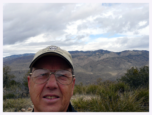 | | self portrait from the top | 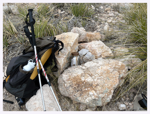 | | summit register jar Statistics for the day:
Distance: 9.41 miles
Accumalative climb: 3070 feet
Total time: 6:35 |
|
|