| Date: January 8, 2007 |
| Location Tenmile Creek Revisted |
| Where: Oregon Dunes National Recreation Area |
I was anxious to make another effort at a good route along Tenmile Creek while it was still fresh on my mind, so with Jeanette and our friend Janet, we returned for a second try. A vast network of illegal OHV tracks has left a confusing maze of possibilities. I hoped by using a mapping GPS I would be able to lay out a good hiking route.
|
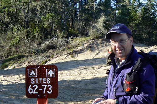 |
| Jim making a GPS Waypoint An amazing amount of sunshine put big smiles on our faces, and caused us to shed our jackets early in the hike.
|
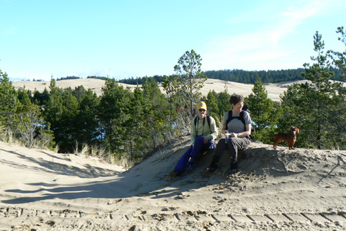 |
| Janet, Jeanette & Buster taking a rest in the sun We found the old track that we had come back on last week that took us on a scenic route along Tenmile Creek.
|
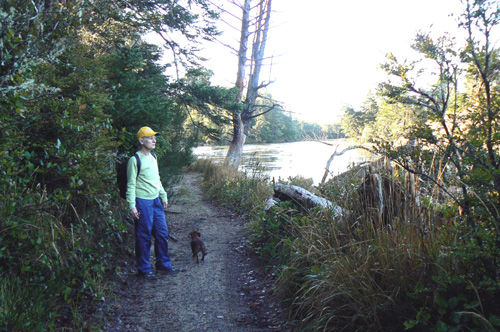 |
| Janet & Buster on the trail section next to the river Again we were not able to get to the mouth of Tenmile Creek where it flows into the ocean, but the GPS did confirm a hunch of mine from last week that Tenmile Creek has cut a new route to the ocean changing from what maps show.
|
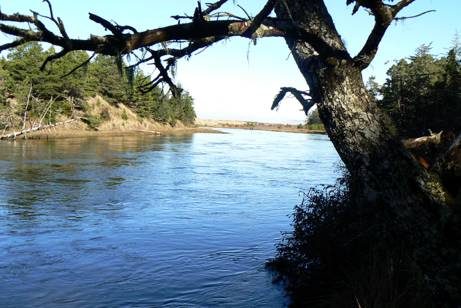 |
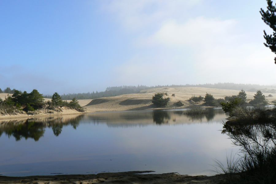
| Tenmile Creek |
 |
| water and dunes |
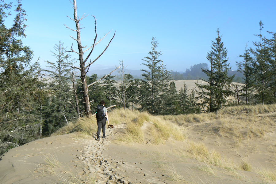 |
| heading back |