| Title: | Agua Caliente Hill | | Area: | Coronado National Forest | | Elevation: | 5369 Feet | | Elevation_Gain: | 2459 | | Trail: | Agua Caliente | | Misc: | Pets are allowed on this trail. | | Links: | Trail Adventures in Tucson, Trip Journal - 2/2/2008, 2/20/2008, 2/22/2008 | | Notes: | This peak on the east edge of Tucson is a popular destination for hikers, mt bikers, and equestrians. You need not hike the trail clear to the top to have a good hike; in fact a good turn around point is the Cat Track Tank, a livestock watering pond, at 2 miles. A second turn around point is at the 3 mile point at a saddle with good views into the Agua Caliente Wash. | | Trail_Number: | 46 | | Route: | In Tucson, take Tanque Verde Road east, turning left on Soldier Trail, right on Fort Lowell Road, continue through Palo Verde Ranch (a residential area), turn left on Remuda, look for unsigned parking lot on the right. | | TH_elevation: | 2910 | | Distance: | 4.5 | | USGS_75: | Agua Caliente Hill | | Reference: | Tucson Hiking Guide | 
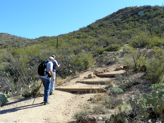
start of the trail | 
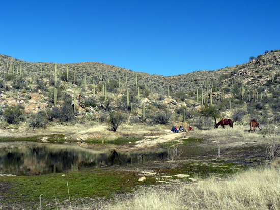
Cat Track Tank | | Type: | Peak | | Day_Hike: | yes | | Mountain_Biking: | yes | | Scenic: | yes |
|
|

