| Title: | Brice Creek Trail |
| Area: | Umpqua National Forest |
| Elevation: | 1380 - 2000 Feet |
| Elevation_Gain: | 620 |
| Trail: | Brice Creek |
| Misc: | Nearby trails to consider off of Brice Creek Road are: Crawfish Trail, Adams Mountain Trail, Trestle Creek Trail, Upper Trestle Creek Trail, and Parker Falls Trail
|
| Links: |
Brice Creek Trail
Brice Creek Falls
Trip Journals -
10/25/07
4/21/09
4/27/09
11/3/09
4/7/10
4/12/10 |
| Notes: | Brice Creek Trail is an interesting trail that runs alongside of very scenic Brice Creek. With a couple of bridged trailheads in the middle it offers a variety of options for the length of the hike.
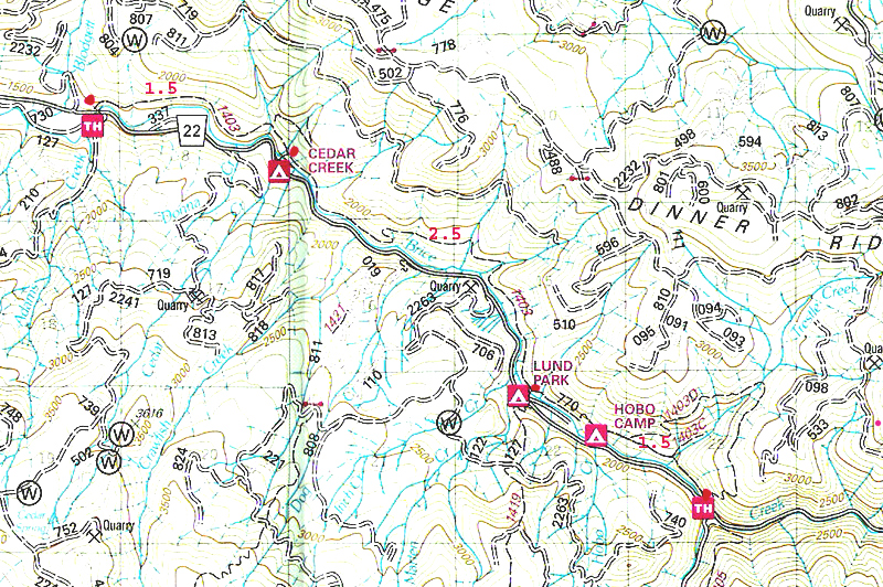
Two campgrounds, Cedar Creek Campground and Lund Park Campground are connected by bridges to the Brice Creek Trail.
A good map for this area is the Umpqua National Forest - Cottage Grove Ranger District Map. |
| Trail_Number: | 1403 |
| Route: | From Cottage Grove take Row River Road #2400, east 19 miles. At the junction of Layng Creek Road, stay right and continue on Brice Creek Road for approximately 3 miles to the trailhead parking lot, located on the righthand just before crossing Brice Creek. The trail begins accross the road. |
| TH_elevation: | 1200 |
| Distance: | 5.6 |
| USGS_75: | Rose Hill |
| Reference: | 100 Hikes in the Central Oregon Cascades by Sullivan / Day Hikes from Oregon Campgrounds by Ostertag |

Brice Creek Trail |

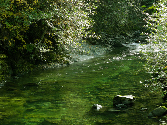
Brice Creek - - - - October 25, 2007 |

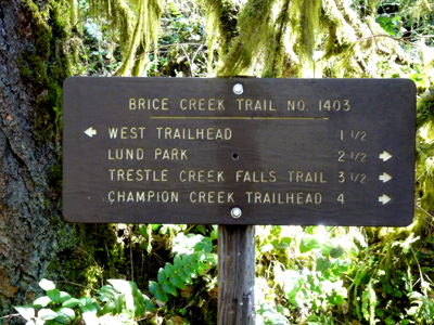
west end trail sign |

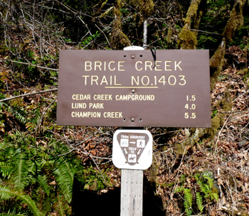
Cedar Creek Junction trail sign |
| Type: | Trail |
| Backpack: | yes |
| Camping: | yes |
| Family_Outing: | yes |
| Day_Hike: | yes |
| Mountain_Biking: | yes |
| Scenic: | yes |
| Swimming: | yes |
| Wildflowers: | yes |

