| Title: | Babyfoot Lake |
| Area: | Kalmiopsis Wilderness |
| Size: | 3 Acres |
| Depth: | 18 Feet |
| Elevation: | 3971 Feet |
| Elevation_Gain: | -369 |
| Trail: | Babyfoot Lake |
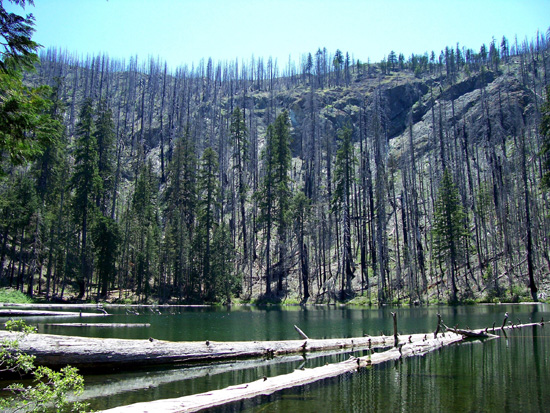
| Notes: | Babyfoot Lake lies within the area of the 2002 Biscuit Fire which burned some 500,000 acres. |
| Trail_Number: | 1124 |
| Route: | From Grants Pass take Highway 199 south to Forest Service road 4201 to spur road 140. |
| TH_elevation: | 4340 |
| Distance: | 1.2 |
| USGS_75: | Josephine Mountain |
| Reference: | 100 Hikes in Southern Oregon by Sullivan / Oregon's Best Wildflower Hikes - Southwest Region by Horn / Complete Angler's Guide to Oregon by Shewey |

photo by Richard Oneill- - - June 2, 2007 |

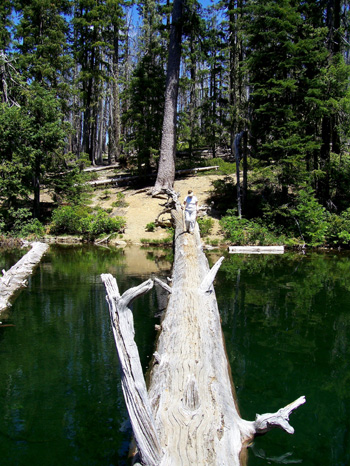
phot by Richard Oneill - - - June 2, 2007 |
| Type: | Lake |
| Backpack: | yes |
| Fishing: | yes |
| Day_Hike: | yes |
| Scenic: | yes |
| Swimming: | yes |
| Wildflowers: | yes |

