| Title: | Pigeon Butte |
| Area: | Benton County |
| Elevation: | 543 Feet |
| Elevation_Gain: | 242 |
| Misc: | Note: Winter Waterfoul Closure is in effect from November 1 throught April 30 for most of the Refuge. |
| Links: | William L. Finley TrailsTrip Journal - 9/28/03 |
| Notes: | Located on the William L Finley National Wildlife Refuge, this makes a good hike May through September. The great thing about this destination is the interesting sites along the way. From the refuge headquarters take the trail south past Cabell Marsh. Here you will have lots of opportunities to see waterfowl. Continue on to a marked junction, taking the route to Pigeon Butte. When the trail/road crests the edge of the butte, take the spur to the right up to an old quarry site. Continue through the quarry and circle around on the grassy SW slope to the top. The view to the north is blocked by oak trees and blackberry vines, so just enjoy the unobstructed view to the south. You can return by retracing your route, but if you feel adventuresome, head down the west ridge until you intersect the trail/road to Beaver Pond. You will have to climb down through two quarry areas, but this will give you a nice loop past Beaver Pond and Cattail Pond before joining up with Cabell Marsh. |
| Route: | From Corvallis, travel south on 99W for 10 miles to mile marker 93. Turn right (west) on gravel road for 2 miles to refuge headquarters. |
| TH_elevation: | 300 |
| Distance: | 2.3 |
| USGS_75: | Greenberry |
| Reference: | 50 Hikes in Oregon's Coast Rang & Siskiyous by Ostertag / Corvallis Trails by Powell |

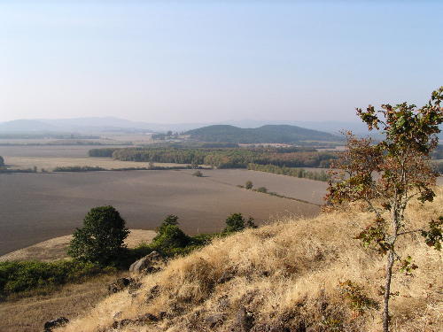
Looking south from Pigeon Butte |

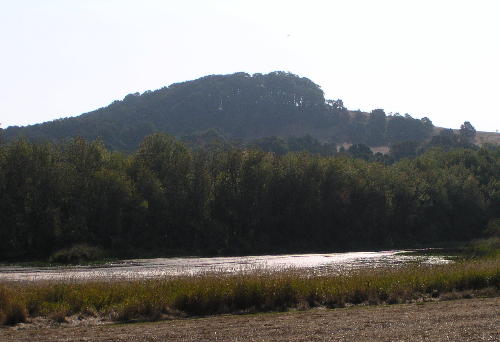
Pigeon Butte from Cattail Pond |
| Type: | Peak |
| Day_Hike: | yes |

