| Title: | Wygant Peak |
| Area: | Columbia River Gorge National Scenic Area |
| Elevation: | 2144 Feet |
| Elevation_Gain: | 1984 |
| Trail: | Wygant Trail |
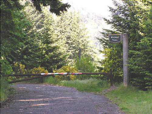
| Misc: | To start the Wygant Trail, hike back down the road you just drove in to a gated road with Wygant Trail sign. |
| Links: | Oregon State Parks |
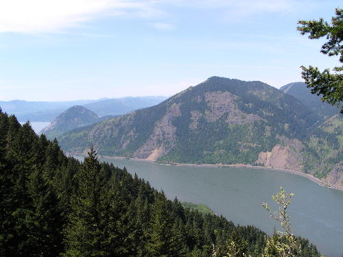
| Notes: | Wygant Peak itself is viewless because of thick timber, but it is still a worthwhile destination if only 'because its there'. It is actually a perfect example of the journey being more important than the destination. The trail to the top offers much in the variety of forest, abundance of wildflowers and fantastic views of the Columbia River Gorge. There are a couple of viewpoints at one mile and again at three miles that make excellent destinations in themselves and good turnaround points. |
| Route: | From Portland east on Interstate 84 take Exit 58 to Mitchel Point Overlook and Lausman State Park |
| TH_elevation: | 160 |
| Distance: | 4.3 |
| USGS_75: | Mt Defiance |
| Reference: | 100 Hikes Northwest Oregon by Sullivan / Columbia River Gorge by Jones / The Curious Gorge by Cook |

Dog Mountain as seen from the Wygant Peak Trail |

This gated road & sign mark the Wygant Trail |
| Type: | Peak |
| Day_Hike: | yes |
| Scenic: | yes |
| Wildflowers: | yes |

